My Location Maps : GPS Latitude Longitude will help you to find your current location with latitude longitude and nearby places on map


| Name | My Location Maps: GPS Latitude Longitude |
|---|---|
| Publisher | App for India |
| Genre | Maps Navigation |
| Size | 6MB |
| Version | 1.1 |
| Update | July 11, 2025 |
| Get it On | Play Store |
| Report | Report Apps |
Preview


Explore this article
My Location Maps: GPS Latitude Longitude Made SimpleUnderstanding GPS Coordinates: The BasicsWhat is Latitude?What is Longitude?Finding Your Current GPS Coordinates with My Location MapsGetting Your Live LocationViewing Your Live Address with CoordinatesExploring Nearby PlacesPractical Uses of GPS Coordinates in Everyday LifeEmergency SituationsMeeting Friends and FamilyTravel and TourismProfessional ApplicationsAdvanced Features of My Location Maps for GPS TrackingTraffic View IntegrationLive Mobile Address TrackingPrivacy ProtectionTips for Sharing and Saving Your Location CoordinatesSharing Coordinates EffectivelyCreating Location RecordsCoordinate Format ConsistencyTroubleshooting Common GPS Coordinate IssuesGPS Signal ProblemsDevice SettingsNetwork ConnectivityMaximizing GPS Technology with My Location Maps
My Location Maps: GPS Latitude Longitude Made Simple
GPS coordinates form the backbone of modern navigation and location services. Whether you’re planning a hiking trip, meeting friends at a new restaurant, or working in surveying, understanding how to find and use your exact location coordinates can make life significantly easier. My Location Maps: GPS Latitude Longitude is a powerful tool designed to help you discover, understand, and utilize these coordinates effectively.
This comprehensive guide will walk you through everything you need to know about GPS coordinates, how to use My Location Maps to find your current position, and the practical applications that can enhance your daily activities.
Understanding GPS Coordinates: The Basics
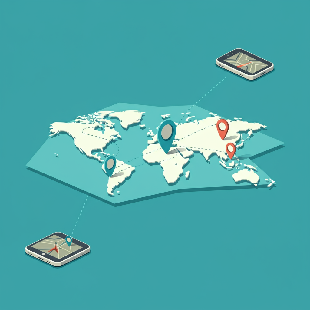
GPS coordinates represent any location on Earth using two fundamental measurements: latitude and longitude. These coordinates work together to create a precise address system that spans the entire globe.
What is Latitude?
Latitude measures how far north or south you are from the equator. The equator sits at 0 degrees latitude, while the North Pole is at 90 degrees north and the South Pole is at 90 degrees south. Latitude lines run horizontally around the Earth, creating parallel circles that get smaller as they approach the poles.
What is Longitude?
Longitude measures how far east or west you are from the Prime Meridian, which runs through Greenwich, England. The Prime Meridian is at 0 degrees longitude, and longitude values range from 180 degrees west to 180 degrees east. Longitude lines run vertically from the North Pole to the South Pole.
When you combine latitude and longitude, you get a unique set of coordinates that identifies one specific spot on Earth. For example, the coordinates 40.7128° N, 74.0060° W pinpoint New York City’s location.
Finding Your Current GPS Coordinates with My Location Maps
My Location Maps: GPS Latitude Longitude simplifies the process of discovering your exact location. The app offers several key features that make coordinate finding straightforward and accurate.
Getting Your Live Location
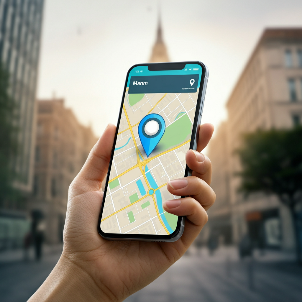
The app’s primary function is showing your live location on map. When you open My Location Maps, it automatically detects your current position and displays it on an interactive map. This feature works by accessing your device’s GPS functionality, providing real-time coordinates that update as you move.
Viewing Your Live Address with Coordinates
Beyond just showing dots on a map, My Location Maps provides your live address with latitude longitude information. This dual display helps you understand both the human-readable address and the precise numerical coordinates for your location. This combination proves especially valuable when you need to share your location with others or record it for future reference.
Exploring Nearby Places
The app enhances your location awareness by showing nearby places on map. This feature helps you discover restaurants, gas stations, hospitals, and other points of interest around your current position. Having this information readily available makes it easier to navigate unfamiliar areas and find essential services.
Practical Uses of GPS Coordinates in Everyday Life
GPS coordinates serve numerous practical purposes beyond simple navigation. Understanding these applications can help you make the most of My Location Maps.
Emergency Situations
During emergencies, GPS coordinates can be lifesaving. Emergency responders can locate you quickly when you provide exact latitude longitude coordinates, even if you’re in an area without clear street addresses or landmarks. My Location Maps allows you to quickly access these coordinates when every second counts.
Meeting Friends and Family
Coordinating meetups becomes much easier when you can share precise coordinates. Instead of trying to describe a location or relying on potentially confusing address systems, you can send exact GPS coordinates through My Location Maps. This approach works particularly well for outdoor events, large parking lots, or crowded venues.
Travel and Tourism
GPS coordinates help you mark and return to specific locations during your travels. You might want to remember the exact spot where you took a beautiful photo, parked your car, or discovered a hidden gem. My Location Maps lets you save these coordinates for future reference.
Professional Applications
Many professions rely heavily on GPS coordinates. Surveyors, delivery drivers, field researchers, and outdoor guides all benefit from accurate location data. My Location Maps provides the precision these professionals need while remaining accessible to casual users.
Advanced Features of My Location Maps for GPS Tracking
My Location Maps offers several advanced features that extend beyond basic coordinate display.
Traffic View Integration
The app includes traffic view on map functionality, allowing you to see real-time traffic conditions alongside your location coordinates. This feature helps you make informed decisions about routes and timing, especially when navigating busy urban areas.
Live Mobile Address Tracking
The live mobile address on the map feature provides continuous updates as you move. This real-time tracking capability proves useful for navigation, exercise tracking, or keeping others informed of your location during travel.
Privacy Protection
My Location Maps prioritizes user privacy by identifying your current location only once per session. The app won’t store your location or any type of location data, ensuring your privacy remains protected while still providing the location services you need.
Tips for Sharing and Saving Your Location Coordinates
Effective coordinate sharing and storage can enhance your experience with My Location Maps.
Sharing Coordinates Effectively
When sharing GPS coordinates with others, include both the numerical coordinates and a brief description of the location. This dual approach helps recipients understand the context while providing precise positioning data. My Location Maps makes this process simple by displaying both your address and coordinates simultaneously.
Creating Location Records
Consider keeping a personal record of important locations and their coordinates. This practice proves valuable for frequently visited places, emergency contacts, or professional requirements. My Location Maps provides the accurate data you need to build these records.
Coordinate Format Consistency
GPS coordinates can be expressed in several formats, including decimal degrees, degrees and minutes, or degrees, minutes, and seconds. Choose one format and use it consistently to avoid confusion when sharing or recording coordinates.
Troubleshooting Common GPS Coordinate Issues
Even reliable GPS systems can encounter occasional problems. Understanding common issues and their solutions helps ensure consistent performance.
GPS Signal Problems
GPS accuracy depends on clear satellite communication. Tall buildings, dense forests, or indoor locations can interfere with GPS signals. When using My Location Maps, try moving to an open area with clear sky visibility if you experience accuracy issues.
Device Settings
Ensure your device’s location services are enabled for My Location Maps to function properly. Check your privacy settings to confirm the app has permission to access your location data.
Network Connectivity
While GPS itself doesn’t require internet connectivity, My Location Maps needs network access to display maps and nearby places. Ensure you have a stable internet connection for the best experience.
Maximizing GPS Technology with My Location Maps
GPS technology continues evolving, bringing new possibilities for location-based services and applications. My Location Maps represents the current state of accessible, user-friendly GPS coordinate tools.
The app’s combination of essential features—live location tracking, address display, nearby place discovery, and traffic information—creates a comprehensive location toolkit. Its privacy-focused approach ensures you can access these features without compromising your personal data security.
As GPS technology advances, tools like My Location Maps will likely incorporate new features such as enhanced accuracy, additional mapping layers, and improved integration with other location-based services. The fundamental value of accurate GPS coordinates, however, remains constant.
My Location Maps: GPS Latitude Longitude provides an excellent foundation for understanding and utilizing GPS coordinates in your daily life. Whether you’re navigating new areas, coordinating with others, or simply exploring your surroundings, this tool offers the accuracy and functionality you need to make the most of modern location technology.
Report

Download My Location Maps: GPS Latitude Longitude
You are now ready to download My Location Maps: GPS Latitude Longitude for free. Here are some notes:
- Please check our installation guide.
- To check the CPU and GPU of Android device, please use CPU-Z app